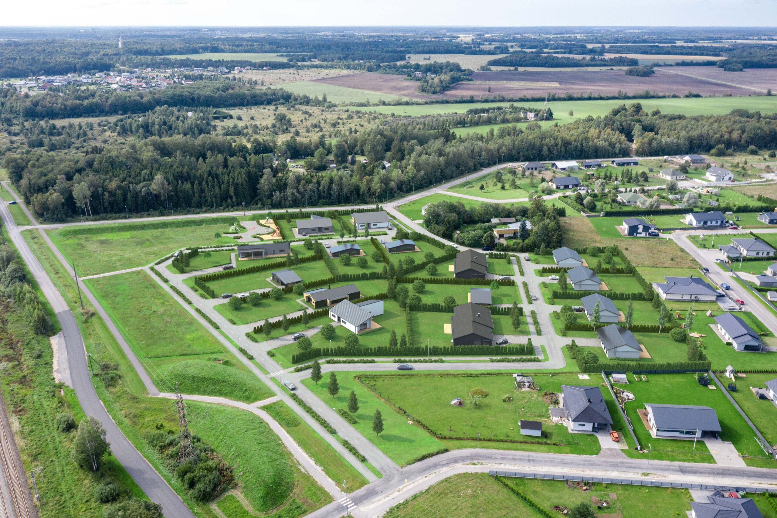
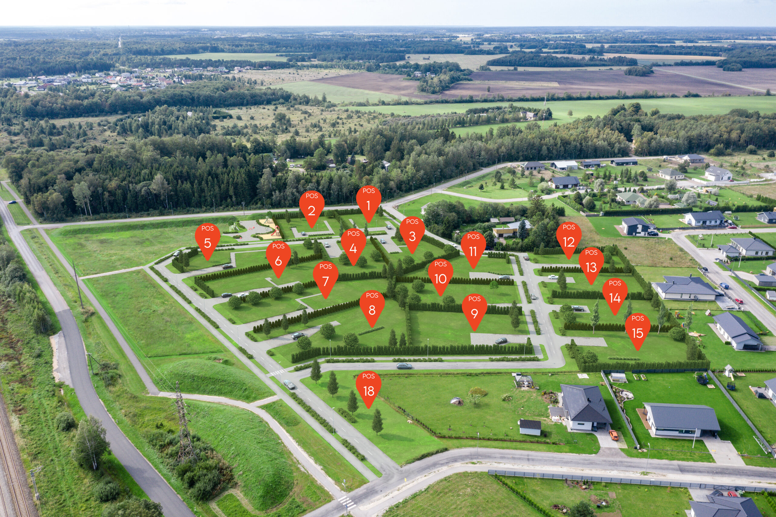
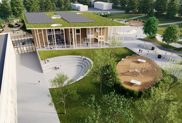
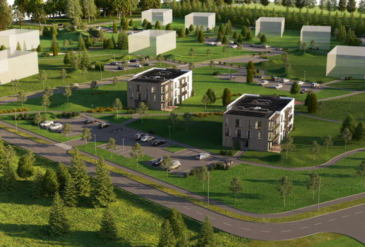
To create visualizations of the residential area, we took pictures of the entire development with a drone, modeled the future buildings and planted them together with landscaping, roads and other infrastructure. The result was high-quality 3D drone images.


